In the video linked below, I will show you how to do a simple analysis of a proposed water main route crossing through several parcels in AutoCad Map 3D with features brought into a drawing through an FDO connection.
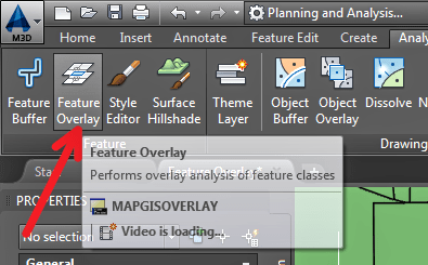
With the Feature Overlay command in Map 3D, I can merge the data of the route feature with those of the parcels creating a new feature containing only the combined data. You can then perform other calculations on the new feature and export the data table to a .CSV format for viewing and organizing in other software.
video link: http://autode.sk/1Z5Q0SX
If you have any questions or comments, please email me at [email protected]
You can also follow me on Twitter
Leave A Comment