
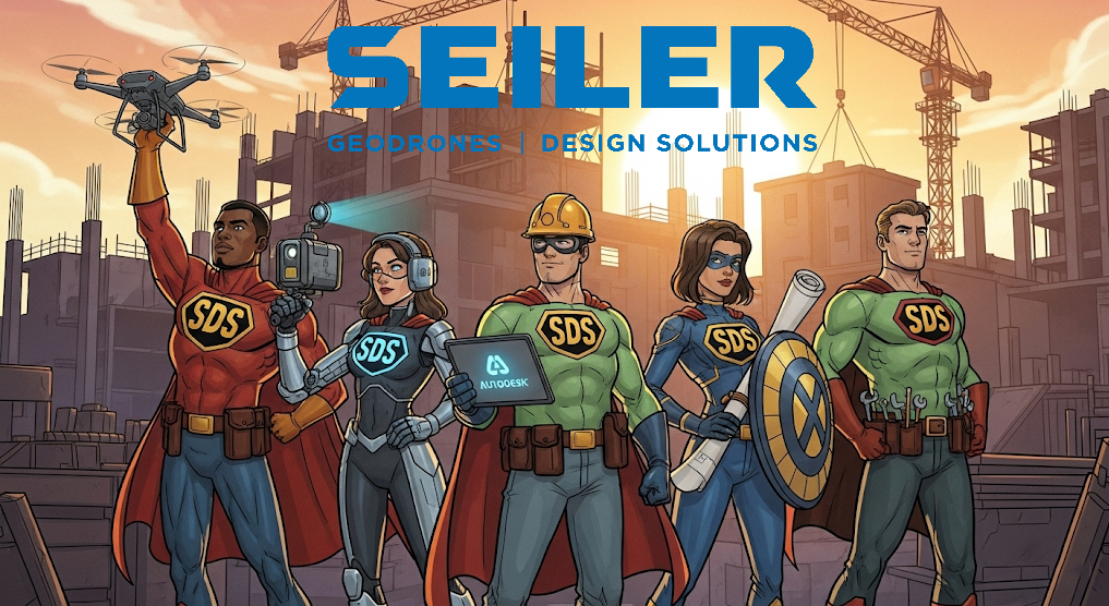
Hey there, design dynamos and construction crusaders! Ever feel like your projects are epic sagas filled with more plot twists than a Shakespearean play? Fear not, because just like assembling the ultimate superhero squad, the AECO industry has its own league of extraordinary tools ready to make your workflows smoother than a freshly poured concrete slab. Let’s dive into the awesome power of the AECO Avenger’s Toolkit!

The High-Flying Hero: Drones – Your Eye in the Sky (and Traffic Avoidance System)
Remember those days of squinting at blurry site photos or trekking across acres of mud just to get a general overview? Say hello to your new aerial ally: the drone!
- Workflow Win: Drones swoop in to capture high-resolution aerial imagery and 3D models faster than you can say “change order.” This means quicker site surveys, progress tracking that’s actually visual (no more guessing!), and impressive marketing materials that’ll make your clients say “wow.”
- Autodesk Integration: Imagine feeding those stunning drone-captured reality meshes directly into Autodesk ReCap or InfraWorks to create accurate existing conditions models. No more tedious manual measurements! It’s like having a superpower for site analysis.
The X-Ray Visionary: Scanners – Seeing is Believing (and Avoiding Costly Mistakes!)
Ever wished you had X-ray vision to see what’s hiding within walls or underground? While we haven’t quite cracked true X-ray specs, laser scanners and reality capture technology are the next best thing!
- Workflow Win: Scanners like those integrated with or complementary to Trimble systems capture millions of data points, creating incredibly detailed 3D point clouds of existing structures or sites. This is a game-changer for renovation projects, clash detection, and as-built documentation. Forget inaccurate manual surveys – this is precision at its finest.
- Trimble & Autodesk Tag Team: Picture this: using a Trimble scanner to capture an intricate historic facade and then importing that precise point cloud into Autodesk Revit. Suddenly, creating accurate BIM models of existing buildings becomes less of a headache and more of an architectural adventure.
The Master Planner: Autodesk – Your Digital Design Fortress
From initial sketches to final construction documents, Autodesk software is the bedrock of many AECO workflows. Think of it as your command center for all things design and documentation.
- Workflow Win: Software like Revit streamlines the entire building design process with Building Information Modeling (BIM). This means better collaboration, fewer clashes during construction (because you caught them in the digital model!), and more efficient project management. Civil 3D brings that power to infrastructure projects, handling everything from site grading to utility design.
- ESRI Connection: Ever needed to understand the geographical context of your design? Autodesk integrates seamlessly with ESRI’s ArcGIS, allowing you to bring in crucial geospatial data like property lines, environmental constraints, and utility information directly into your design models. It’s like having the entire world inform your project.
The Geo-Guru: ESRI – Mapping Your Way to Success
ESRI’s ArcGIS is the ultimate tool for understanding the “where” of your projects. It brings the power of mapping and spatial analysis to the AECO world.
- Workflow Win: ArcGIS allows you to visualize project data in a geographic context, making it easier to analyze site suitability, manage assets, and communicate project information to stakeholders. Imagine presenting a project to a client with interactive maps showing its location, surrounding infrastructure, and environmental considerations – talk about impactful!
- Autodesk Harmony: The integration between ESRI and Autodesk means you can seamlessly flow geospatial data into your BIM models and vice versa. This allows for smarter site planning, better risk assessment, and a more holistic understanding of your project’s impact on its surroundings.
The Precision Powerhouse: Trimble – From Field to Finish, Flawlessly
Trimble brings high-accuracy data capture and management to the field. Their hardware and software solutions ensure that what you design is exactly what gets built.
- Workflow Win: Trimble’s robotic total stations and GPS systems provide incredibly precise measurements for surveying and layout. This translates to fewer errors during construction, faster stakeout processes, and ultimately, projects that adhere more closely to the design intent. Their software then helps manage and analyze this crucial field data.
- Autodesk & ESRI Synergy: Data captured with Trimble equipment can flow directly into both Autodesk and ESRI software. Survey data becomes the foundation for your Revit models or Civil 3D designs, and GIS data can be used to inform Trimble’s site positioning systems. It’s a beautiful cycle of data-driven design and construction.
The Workflow Wonders in Action!
Imagine a new housing development project:
- A drone, your high-flying hero, surveys the site in Valley Park, Missouri, in minutes, creating a detailed orthomosaic and 3D model.
- This data is imported into Autodesk InfraWorks to create an existing conditions model for preliminary design.
- ESRI’s ArcGIS is used to analyze the site’s topography, floodplains, and proximity to existing utilities, informing the overall site plan. This geospatial intelligence is then linked within Autodesk.
- Engineers use Autodesk Civil 3D to design the site grading, roads, and utility networks, incorporating the geospatial constraints identified in ArcGIS.
- Surveyors use Trimble’s robotic total stations to precisely stake out the building footprints and infrastructure elements on the ground.
- If there’s an existing structure nearby, a scanner captures a detailed point cloud, which is imported into Autodesk Revit to ensure the new design integrates seamlessly.
- Throughout the project, progress is tracked with drone flights, and the data is used to update the BIM model in Revit, providing a single source of truth.
The Bottom Line: Assemble Your AECO Avengers!
By embracing the power of drones, scanners, and software from Autodesk, ESRI, and Trimble, AECO firms can streamline their workflows, improve accuracy, enhance collaboration, and ultimately deliver better projects, faster. So ditch the old, clunky methods and assemble your own AECO Avenger’s Toolkit – your projects (and your sanity) will thank you! Now, if you’ll excuse me, I think I just saw a drone delivering coffee to the site manager… the future is now!
![]()
Leave A Comment