
Does your project require the collection of a high volume of accurately collected scan data?
The Microdrones mdLiDAR1000 is an integrated system for producing accurate 3D point clouds optimized for land surveying, construction, oil & gas and mining applications.
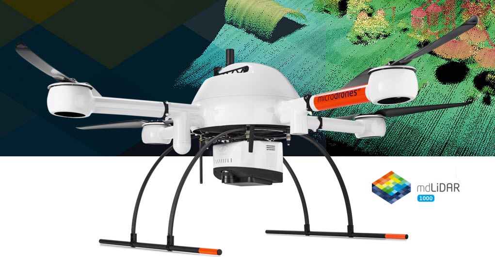
The system consists of the precision engineered Microdrones md4-1000 drone, a payload of a high quality LiDAR package coupled with the Applanix APX-15 IMU. There is also an RGB camera for image collection and point cloud colorization. The mdLiDAR1000 consistently provides an accuracy of 6 cm (0.2 ft) when flown at and altitude of 130 ft at a speed of 6.5mph.
The workflow is streamlined and was recently shown at a series of drone demo days by Seiler Geodrones and is as follows:
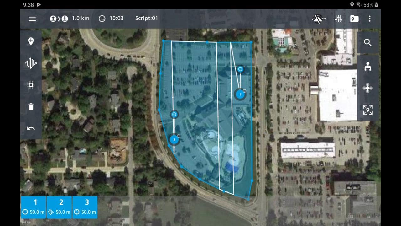
Plan
First, plan your mission using the simple to use mdCockpit software. Input your flight altitude, point density, and speed.
Fly
Fly your mission. As the mission is executed, the pilot gets real-time telemetry data within mdCockpit.
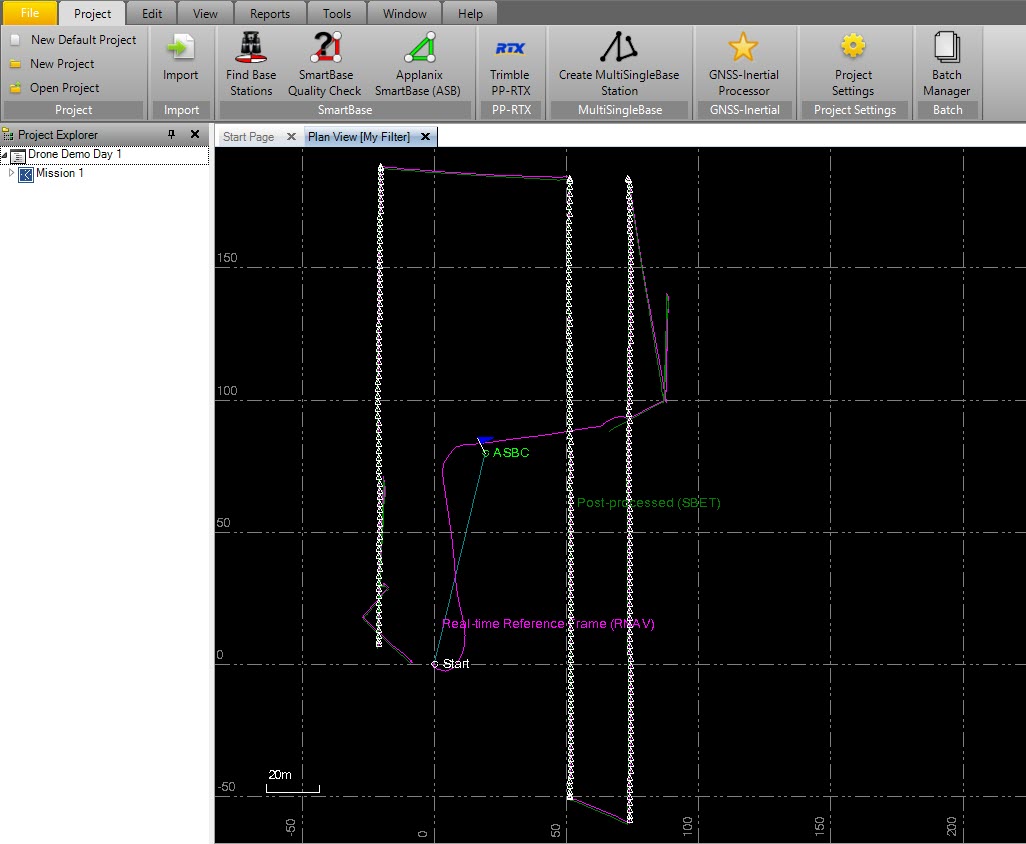
Process
Download and process your competed mission data. Georeferencing data is processed through Applanix POSPac UAV software and final point cloud deliverable is completed using the mdLiDAR Processing Software.
Colorize
Finished point cloud can then be colorized from aerial photos taken by the onboard RGB camera using software such as Pix4D and GeoSync-Go.
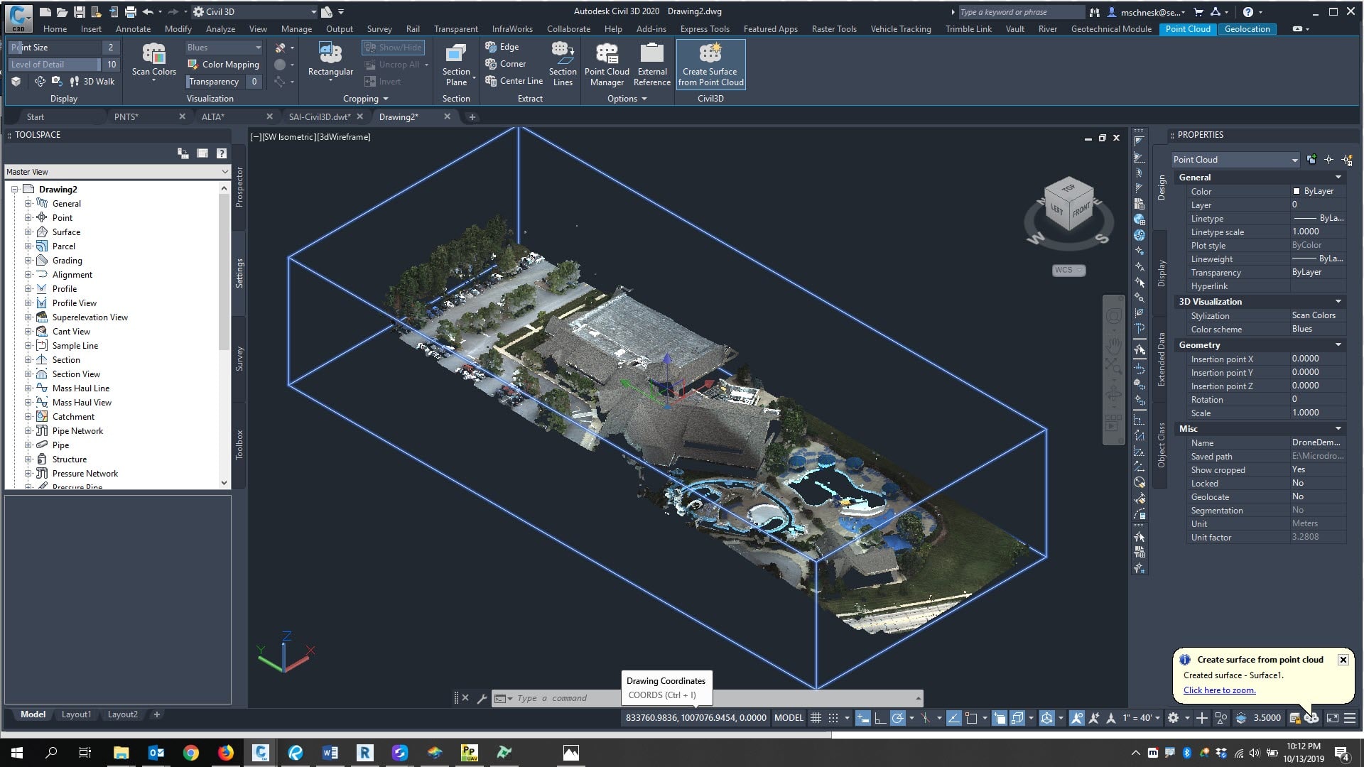
Use
The point cloud is in standard LAS format usable in most CAD software or into any Autodesk design software such as Civil 3D via Autodesk ReCap.
For more information or to schedule a demonstration, please contact us at [email protected] or you may email me directly at [email protected]
Leave A Comment