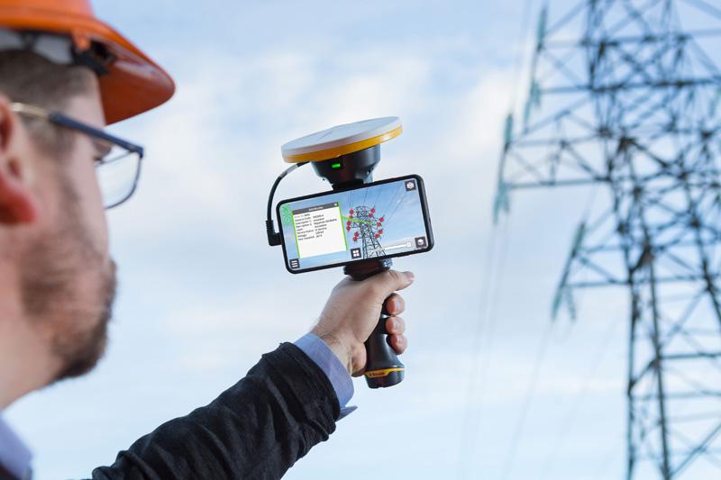
Imagine if you could visualize your 3D design data in the real world, even though it only exists as a design model. Trimble® recently introduced SiteVision™ which is a user-friendly outdoor augmented reality system that brings your 3D design data to life so you can visualize, explore and understand the impact of your design in the real world.
SiteVision combines hardware and software in an integrated, lightweight handheld or pole-mounted solution.
Create and manipulate your 3D data in your design product of choice, whether it is Autodesk Civil 3D, Revit or Infraworks or many other products capable of producing a 3D model such as Sketchup models or GIS data. Upload to Trimble Connect which is part of the software subscription, this allows the models to be downloaded to the SiteVision System in the field.
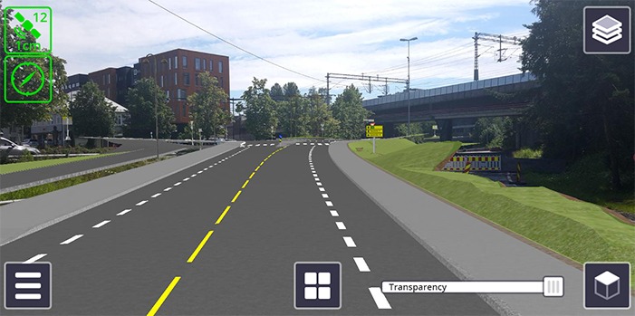
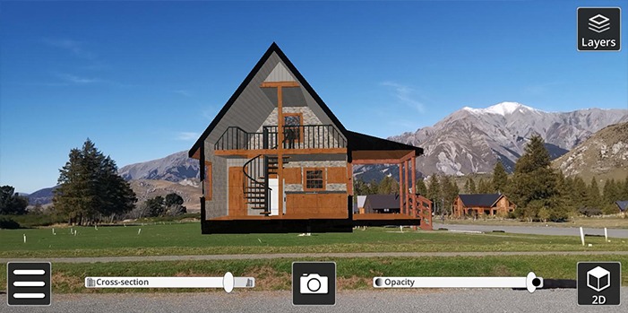
Visualize conceptual designs from buildings to roads.
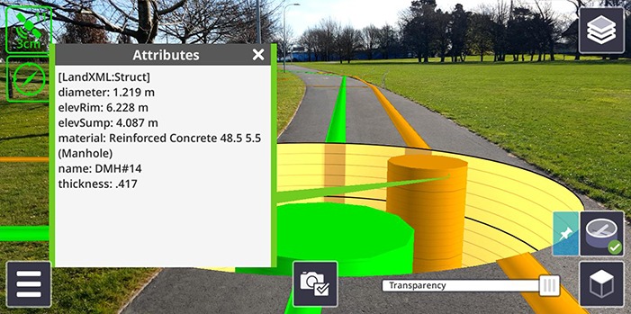
Show what lies beneath the ground as you project underground utility assets on your job site such as water main or buried electric lines.
Engage key stakeholders and the general public for project explanation and buy in.
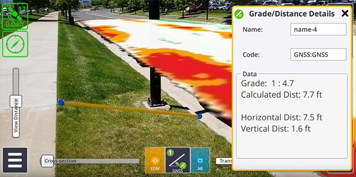
Compare design data with current construction progress. You can also take measurements in the field of both AR assets and real world objects.
To learn more, please contact me at [email protected] or you may visit our Seiler Instrument SiteVision home at https://catalyst.seilergeo.com/sitevision-home/
Leave A Comment