
Georeference your point cloud
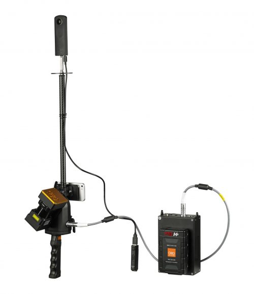
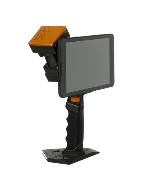
GeoSLAM ZEB Locate
Description
Connect your point cloud to the real world, without the need for external control points. Using a ZEB Horizon and backpack frame, build a point cloud with precise location positioning.
- Collect and create an accurate point cloud in minutes by integrating with GPS location using our ZEB Locate software
- Track and maintain fixed assets including those owned and operated within the utility market
- 100 meter range
View the GeoSLAM ZEB Locate Datasheet.
Reviews
There are no reviews yet.