
Capture and create real estate floor plans with interactive 360° panoramic photography for enhanced property surveys.
GeoSLAM ZEB Pano
Description
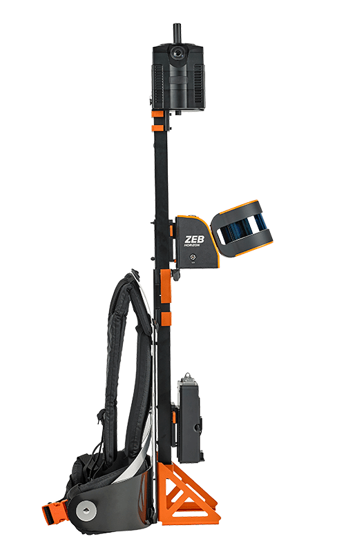
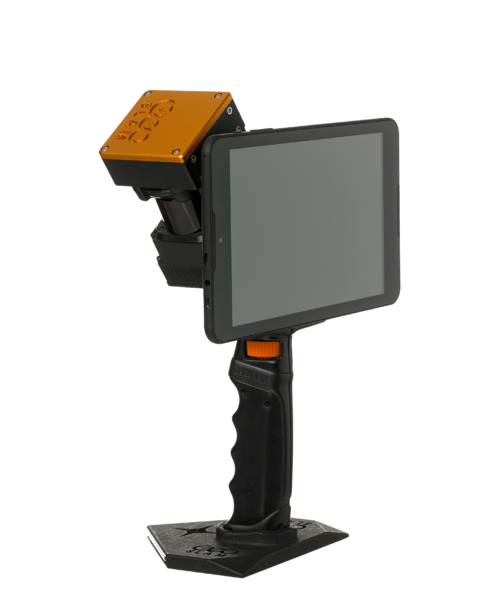
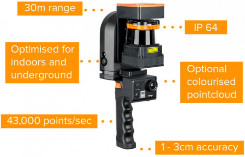
The ZEB Pano uses GeoSLAM’s leading SLAM algorithm to automatically and accurately position panoramic photos on a floor plan for an interactive viewing experience. Already used by leading property marketing companies, the ZEB Pano is set to revolutionize the real estate surveying industry.
- Quick and easy property surveying
- No need to send seperate teams to a property
- Error free data and high-resolution panoramic photography
- 360° interactive digital data
- Stop and go camera operation
The ZEB Pano is an accessory for the ZEB Go, ZEB Revo RT and ZEB Horizon
Check with us for options for rent-to-own and low-interest financing.
Reviews
There are no reviews yet.