SLAM Scanning: The Power of Real-Time Mapping
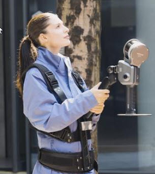
SLAM (Simultaneous Localization and Mapping) scanning is an advanced technology that creates a real-time 3D model of an environment while simultaneously tracking its own position within that space. This means a SLAM scanner can build a detailed map of a room or building as you walk through it, without the need for pre-existing blueprints or GPS signals. It’s a game-changer for many industries, providing rapid, accurate, and flexible spatial data capture.
Introducing XGRIDS: Revolutionizing SLAM Technology
XGRIDS takes SLAM to the next level. Their proprietary algorithms and hardware are engineered to deliver unparalleled accuracy and efficiency, making complex scanning tasks simple and intuitive. Unlike traditional methods, our solution offers superior performance in a variety of challenging environments, including those with poor lighting, reflective surfaces, and large-scale areas.
By leveraging cutting-edge sensor fusion and data processing, XGRIDS ensures that your maps are not only precise but also clean and ready for immediate use in applications ranging from architecture and construction to facility management and robotics. Experience the future of spatial intelligence with XGRIDS.