
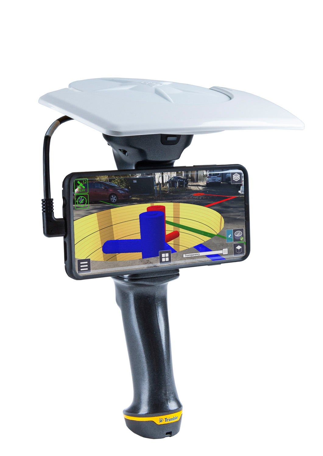
Trimble® SiteVision™ is a high accuracy augmented reality system that is ideal for use outdoors. It enables you to interact with your spatial data in the context of the real world. You can visualize and measure positions using GNSS, Electronic Distance Measurement, and Augmented Reality technology as you explore the project site.
Trimble® SiteVision™
Description
Overall, SiteVision is a productive construction tool – allowing users to plan and visualize the progress on site, complete quality management and identify issues early reducing costs and time.
Key Features
- Accurately places and displays 2D/3D data in real world context from any angle at true-to-life scale
- Precisely locates and reveals hidden assets
- Combines Trimble® Catalyst™ GNSS centimeter-level positioning and electronic distance measurement (EDM) with Google® AR technology
- Automatically transforms complex 2D designs into visual 3D models
- Switches between 2D and 3D views
- Provides Trimble cloud-based data hosting and reporting tools
- Enables collaboration and communication of designs on the job site
- Compatible with a wide range of Trimble, open industry standard, and third-party file formats
- Lightweight, portable handheld or pole-mounted unit

Reviews
There are no reviews yet.