

Description
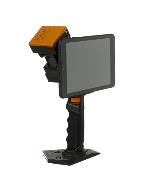
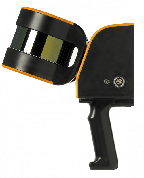
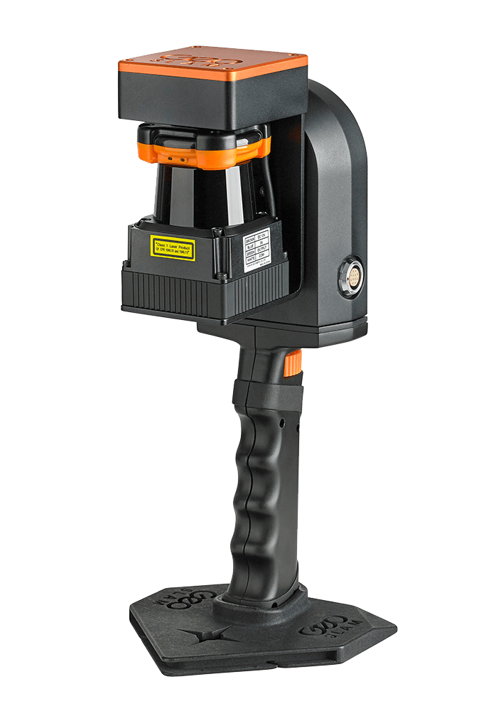
If you’re looking for a reliable way to map and understand spaces, meet the ZEB Go. The ZEB Go is your first step in SLAM handheld technology, so whether it’s the first time you’ve looked at digital surveying, or you want each of your sites equip with the smartest SLAM, the ZEB Go is the place to start.
Powered by the Smartest SLAM
One button operation, you’ll be up and running fast-capturing data in minutes. Process a point cloud quickly using GeoSLAM’s intelligent point cloud processing platform GeoSLAM Hub or onboard with the real-time version – the ZEB Go RT. GeoSLAM data is compatible with software that works for you with universal file formats (LAZ/LAS/PLY/TXT/e57).
Upgrade Your ZEB Go to Understand Spaces in Real-Time
All the features of ZEB Go with onboard data processing, allowing you to visualize your project in real-time. Compatible with any internet enabled device, the ZEB Go RT lets users scan, visualize and process simultaneously. Monitor projects on the move and check data before the job is done, reducing the number of site-visits required.
View the GeoSLAM ZEB Go Datasheet.
Contact us to learn about upgrading to the ZEB Go RT.
Reviews
There are no reviews yet.