In this video, Seiler Design Solutions presents the third in a series of videos featuring the Autodesk Connector for ArcGIS Online and how the data can be used in Autodesk Products.
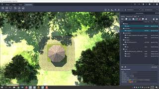
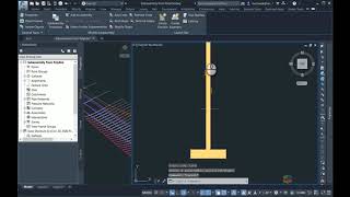
In this video, we will show you how you can create gravity pipe network Civil 3D data objects in Civil 3D 2020.1. We will connect to ArcGIS Online data that contain both pipe and structure layers with attributes we can map to standard Civil 3D pipe network attributes. We can fill in any missing data with default values allowing us to get a start in creating pipe networks for analysis or design.
In the next video, we will continue with Civil 3D discover how we can write data back to ArcGIS Online from our Civil 3D drawing.
If you have any questions, please email me at [email protected]. Please visit and subscribe to our blog at https://www.seiler-ds.com/blog for more tips, tricks, news and information about Autodesk and other products.
Thank you for watching.
Link to Part 1: https://youtu.be/RhD36RwRZnk
Link to Part 2: https://youtu.be/qdYQ44nXNT4


Leave A Comment