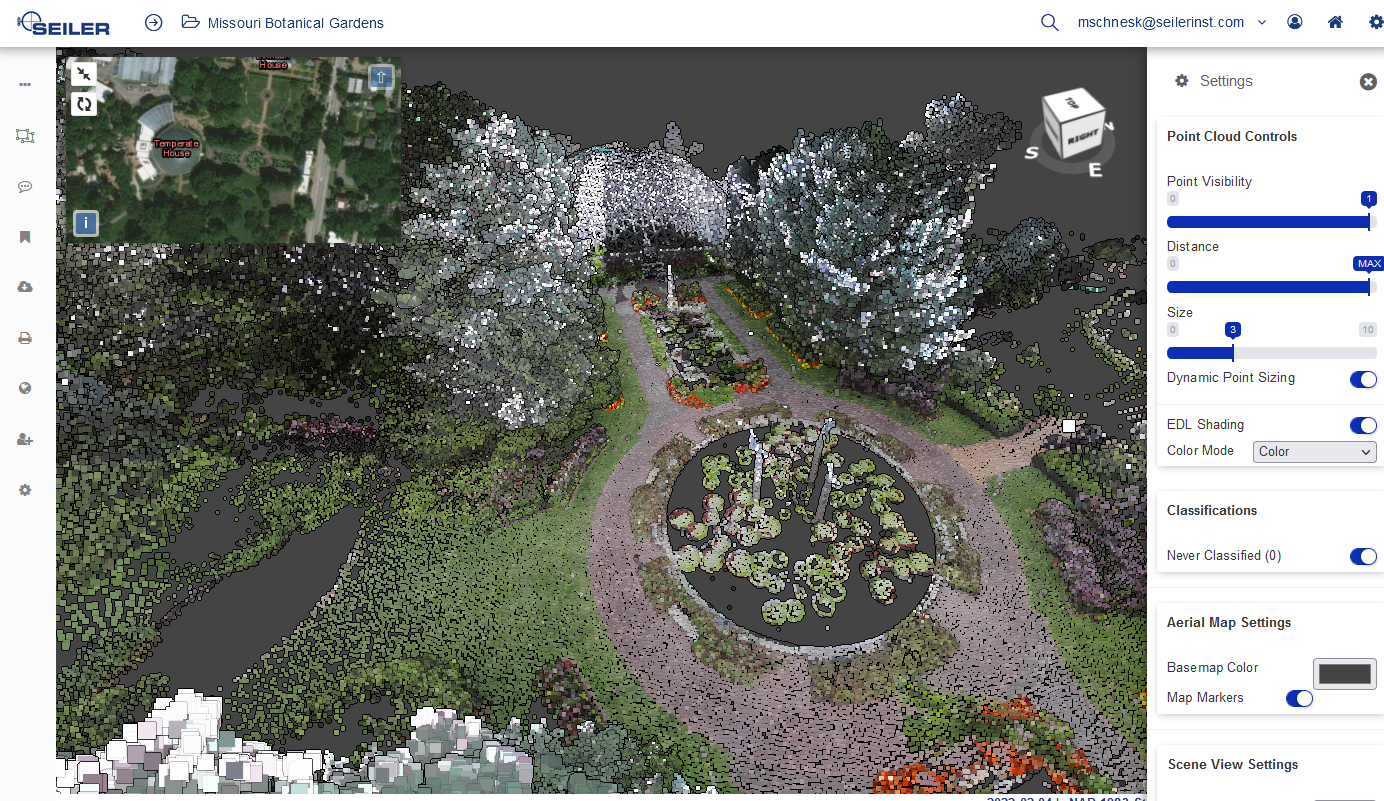
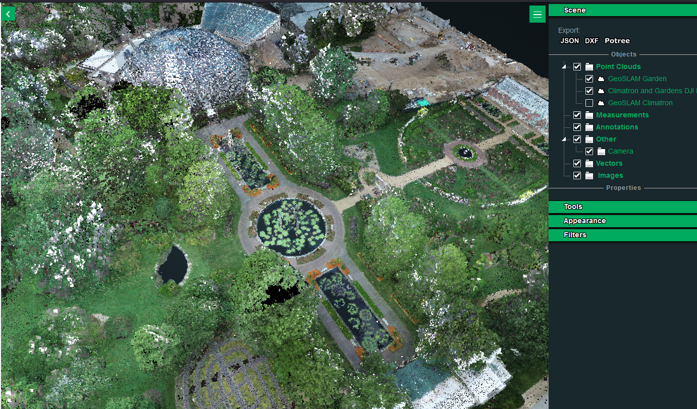
In summer of last year, I and other members of the Seiler Design Solutions team met at the Missouri Botanical Garden in St. Louis for the purpose of scanning the Climatron along with the surrounding garden area to test a variety of LiDAR and photogrammetry systems.
Harvey Wright, Sales Manager at Seiler Design Solutions comments:
“At our inaugural Drone Demo Day last spring, I ran into Kayla Flamm, who is a GIS professional working for The Missouri Botanical Garden. We got to talking, and both agreed that scanning the gardens would be a mutually beneficial exercise. As with a lot of projects, “scope creep” started to rear its head, but in a good way: with the diversity of terrain, and the amazing structure of the Climatron, we decided this would a great opportunity to show case multiple platforms, sensors and workflows. We scanned using flown LiDAR, (DJI M300 and L1 sensor), photogrammetry (DJI Phantom 4) as well as static scanning (Trimble X7) and mobile, SLAM based LiDAR, the GeoSLAM Horizon. Our team of Application engineers wed the scans together to create a federated data set. I think the results are amazing.”
Below are some of the results of our scans combining data from the DJI L1 LiDAR, GeoSLAM Horizon and Zeb Discovery, and the Trimble X7. First there is a short video fly-through of the site from our scan data.
The web link below the video will take you to our SOLV3D site contains a browser based viewer where you can explore the scan data in a variety of formats and take measurements to explore the space.

GeoSync Go Scene: https://geosync.cloud/scenes/b0fe8d6a-5217-40e6-8edd-0d2b9d0c2683?public

If you have any questions or would like to learn more, please contact us at [email protected]
Check out the Missouri Botanical Garden’s website at: https://www.missouribotanicalgarden.org.


Leave A Comment