-
 The Autodesk® Architecture, Engineering, and Construction Collection provides access to integrated tools that equip you to meet any project challenge – now and in the future.
 -
 Autodesk® BIM 360TM software accelerates project delivery and helps minimize contractor risk with anytime, anywhere access to project data across the entire construction lifecycle.
 -
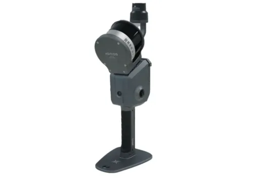
 Point placement and construction layout software.
 -
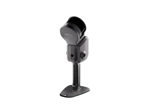
 The XGRIDS L2 Pro 16/120 Standard Package, available through Seiler Design Solutions, delivers high-precision LiDAR mapping and surveying capabilities with advanced accuracy and efficiency.
 -
 The XGRIDS L2 Pro 32/120 Standard Package, available through Seiler Design Solutions, delivers high-precision LiDAR mapping and surveying with enhanced accuracy and efficiency.
 -
 The XGRIDS L2 Pro 32/300 Standard Package, available through Seiler Design Solutions, offers high-precision LiDAR mapping and surveying with an extended 300-degree field of view for superior data capture.
 -
 The XGRIDS L2 Pro Standard RTK Kit, available through Seiler Design Solutions, enhances LiDAR mapping and surveying with real-time kinematic (RTK) positioning for superior accuracy and precision.