
![]()
Connect is the latest software innovation from GeoSLAM that automates time consuming and repetitive processing workflows from your collected GeoSLAM Horizon, Revo RT, and GO data.
GeoSLAM Connect uses leading and established SLAM algorithm and powerful scripts to process, visualize, and filter data, making it ready for your next step in your project.
One of the tools behind this workflow is the use of customizable “geoscripts.” You create your new project and choose the appropriate geoscript to perform the processing and create the desired output automatically. Current common geoscripts include a floor plan extraction , GeoSLAM Locate coordinate transformation, and a scan to scan comparison.
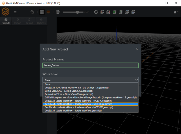
Selecting a geoscript for a new project
Once your script is executed and the data processed, you can use the visualization tool within the program to view the point cloud data, as well as create a simple report. Browse to the data output folder to get your additional data created by the script.
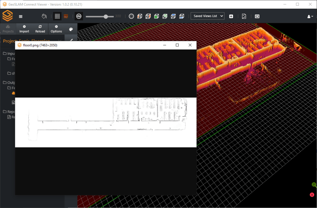
Floor plan geoscript workflow
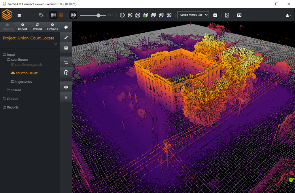
GeoSLAM Locate geoscript workflow
Output locations can be customized to include local or network drive, or collaborative locations such as Dropbox, Google Drive or BIM360 Docs.
Also integrated with Connect is the new GeoSLAM app which allows integration of photos, notes and voice notes from your Android phone alongside custom asset tags while capturing data. This data is shown inside the point cloud viewer in Connect to assist with interpretation of data.
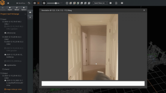
GeoSLAM app image inside Connect
To find out more information about GeoSLAM connect, contact us at CADtechnical@seilerinst.com or you can learn more at https://geoslam.com/solutions/connect/

Leave A Comment